-40%
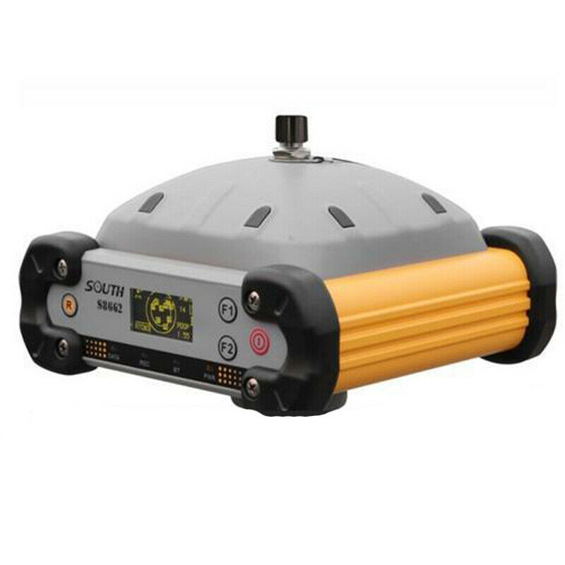
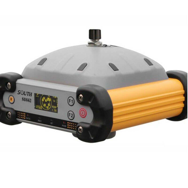
NEW SOUTH GPS RTK measurement system S86 with display
$ 2006.4
- Description
- Size Guide
Description
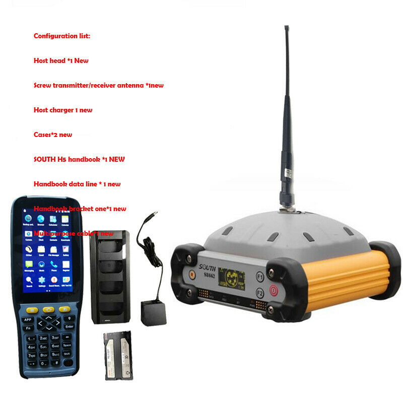
Configuration list:Host head *1 New
Screw transmitter/receiver antenna *1new
Host charger 1 new
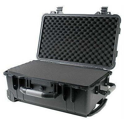
Cases*1new
SOUTH H5 handbook *1 NEW
Handbook data line * 1 new
Handbook bracket one*1 new
Multipurpose cable*1 new
Product introduction:
Multi-constellation reception, support BDS, GPS, GLONASS; multi-band reception, especially support Beidou tri-band B1, B2, B3.
Features:
● Full constellation receiving technology
● Southern high-performance transceiver integrated built-in radio, typical working distance 8km
● High-strength engineering performance, IP67, anti-3m drop
● Full color OLED display, high brightness, low consumption, low temperature resistance
● 4G solid state flash memory to protect data security
● Intelligent voice function
● Intelligent fault diagnosis, the diagnosis result is directly displayed
Product Usage
Application in CORS
On the basis of making the radio station strong and perfect, the Southern Company keeps up with the trend of the times and applies the network RTK to various industries, taking the lead in embarking on the road of network RTK specialization. The Southern Continuous Operation Reference Station System Solution independently developed and designed by Southern Corporation provides a complete solution from single base station to multi base station and multi base station network system. This scalable mode allows different user units to be based on their own Demand the best solution.
Application in water
The South RTK and aquatic products are designed for high-precision positioning and directional construction technical requirements at sea. The RTK in the South is also widely used in marine engineering construction, and can include marine engineering, dredging, piling, cutting and other marine engineering fields. application.
General measurement applications:
control:
Through the static measurement function of Lingrui S86 dual-frequency system, various control data can be obtained quickly and conveniently, and high-precision deformation observation, image control measurement and other data acquisition can be accurately completed, and the most widely used southern GPS data processing software is used. The user can ensure continuous and high-precision results, and complete the transformation of various coordinate systems, editing and outputting of data results in one-stop operation.
Data acquisition measurement:
The Ling Rui S86 with various controller softwares such as Southern Engineering, Surveying and Navigation Star can quickly and conveniently complete the data acquisition measurement at each GPS measurement site. The real-time measuring point function can effectively complete the measurement work more effectively with various measuring methods such as total station.
Stakeout:
Using the various stakeout functions of the Southern S86 system to perform large-scale point, line, and plane stakeout work in the field is intuitive and fast. Record and check the position of the staked points in real time, carry out on-site quality control, and ensure the construction of the project stakeout to the utmost extent.
Power measurement:
The power measurement function tailored for domestic power measurement users using the Southern S86 system can easily perform power line measurement orientation, ranging, angle calculation, etc., especially in some mountain and hilly areas of Yatong. Play its convenient and efficient role.
Highway measurement:
Using the S86 system's fast static positioning and real-time dynamic positioning two measurement modes and the measurement and road lofting function in the Engineering Star software, the application in highway engineering can cover highway survey, construction lofting and supervision. In the harsh natural conditions, it can quickly complete the road measurement control point encryption work, highway topographic map mapping, middle pile measurement, cross section measurement, longitudinal section ground line measurement.
